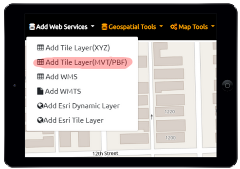
Vector Tiles are super efficient and quality data that’s very optimized.
Geodata Explorer supports Vector Tiles locally offline via mbtiles and online via tile server URL. The end point can be in .MVT or .PBF
You can style your vector tiles with our styling tools. If you are trying to access complicated vector tiles with multiple layers you’ll want to talk to us about tilejson and accessing your stylesheet GL JSON format.
(.json or .geojson tiles are NOT supported yet if you have a need for this we can easily implement it)
