
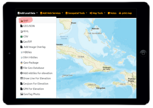
Zipped ESRI Shapefile in Unprojected Coordinates EPSG:4326 Geographic WGS84
Supports viewing Geometry (Points, Lines or Polygon) and Attributes from One Shapefile in zip file (SHP, DBF, SHX, PRJ and other optional extensions/files)
You can batch convert your ESRI Shapefiles to Geographic WGS84.
Batch Reproject Shapefiles - Sample Script
Copy this as text and save as Batch File. (.bat) that runs on Windows computers.
@echo off
echo reprojects all shapefiles in a folder
set /p pathfoldertoshp=path to shapefiles:
cd /d %pathfoldertoshp%
REM install GDAL from here https://trac.osgeo.org/osgeo4w/
REM https://www.gdal.org/ogr2ogr.html
REM if you want geoJSON use this instead”ogr2ogr -f “GeoJSON” -skipfailures -progress -t_srs EPSG:4326 -lco COORDINATE_PRECISION=6 –config GDAL_DATA “C:\OSGeo4W64\share\gdal” %%~dpnf.geojson %%f”
for /r %%f in (*.shp) do ogr2ogr -f “ESRI Shapefile” -skipfailures -progress –config GDAL_DATA “C:\OSGeo4W64\share\gdal” -t_srs EPSG:4326 %%~dpnf_4326.shp %%f
echo.
echo complete
pause