As a reminder, custom versions are available. We don’t give out the source code but we can build custom version or any mapping app to suit your requirements.

Thanks for your interest in Geo Data Explorer app
See below on getting a demo version of the app
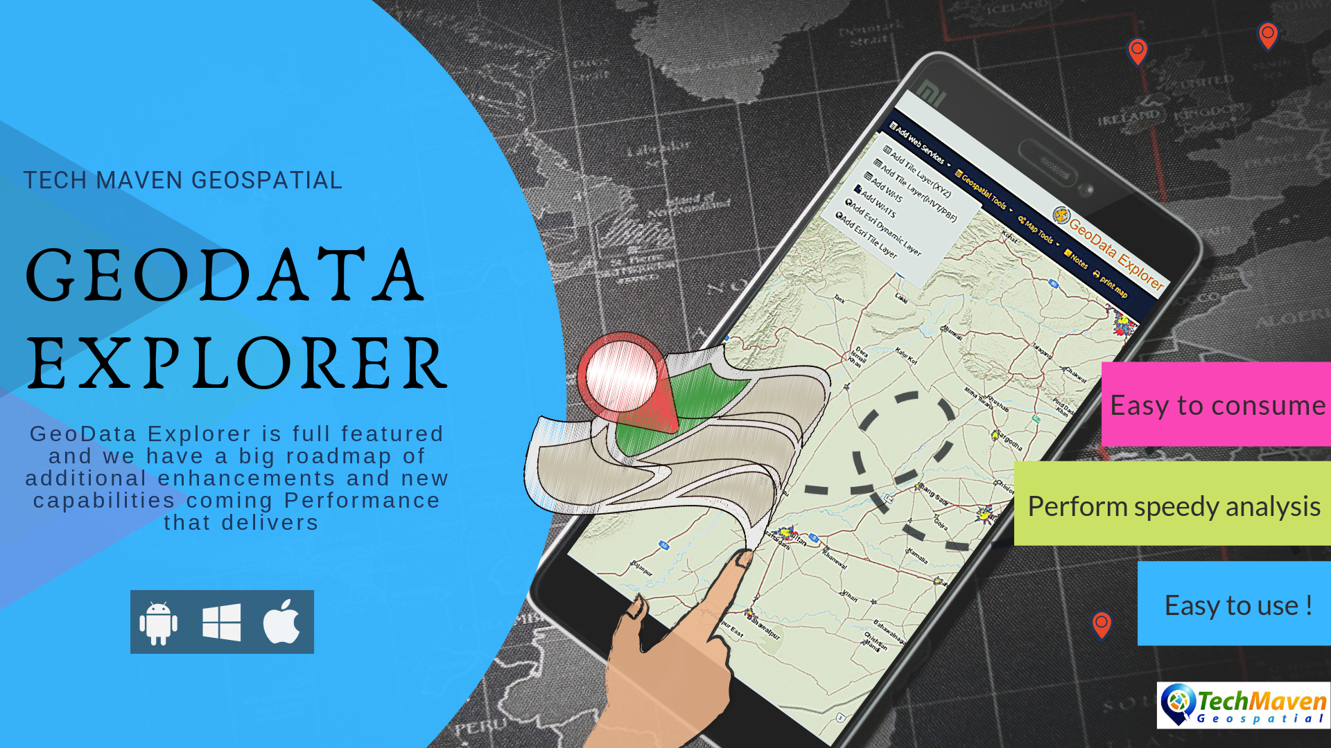
- The App is a GIS Data Viewer/Editor and Analysis and Data Visualization environment.
- Supports the hottest and latest formats like Vector Tiles offline as part of MBTILES or from Tile Server and OGC GeoPackage Raster Tiles and Vector Features. as well as common formats like Shapefile File, Geodatabases, KML, CSV, GeoJSOn, GPX
- Offline Elevation Readings and Terrain Profile Views
- OpenStreet Map Vector Tiles
- Perform data creation, editing and annotation
- View Attribute tables and export results
- Supports online mapping services
- Image GeoRefereencing/Rubbersheeting
- View GeoTagged Photos
- Table of Contents with Opacity SLider and Swipe Tool to compare layers
- Works with high precision GNSS/GPS devices also support IP geolocation, Coordinate display
- Grids/Graticule
- Measure Distance/Area
- Overview Mini Map
- and Much More
in settings enable unknown sources to be able to install the Android App