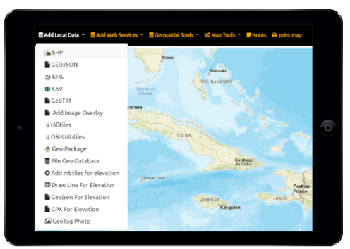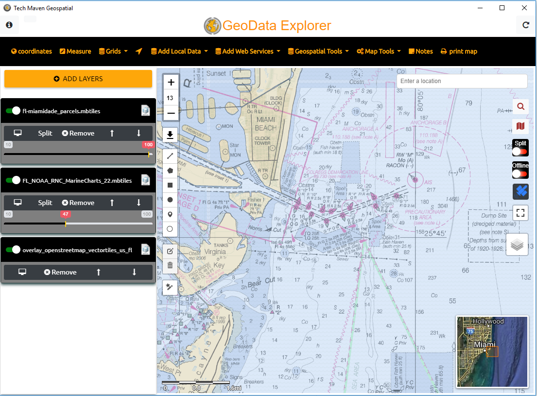
GeoData Explorer – local offline disconnected vector data supported
| Files | Services |
|---|---|
| Raster Tiles | OGC WMTS -TILES |
| GPKG Raster Tiles * Not in Lite Ver | OGC WMS |
| MBTiles Raster Tiles * Not in Lite Ver | Raster Tile Server (XYZ/TMS) |
| Vector | Vector Tile Server (MVT/PBF) XYZ |
| MBTiles Vector Tiles * Not in Lite Ver | ESRI ArcGIS Dynamic Map Services (MapServer) |
| ESRI Shapefile | ESRI ArcGIS FeatureServer Layer |
| GeoJSON | |
| OGC GPKG - GeoPackage Vector Features * Not in Lite Ver | GeoTagged Photos JPG |
| KMZ/KML | WFS - Future |
| TEXT -TSV, CSV | CSW/CKAN -future |
| Offline Elevation Tiles for Spot Elevation and Terrain Profile View Graph from MBTILES in MapZen Terrarium Spec PNG. * Not in Lite Ver | |
| OSM Vector Tiles MBTILES * Not in Lite Ver | WPS -future |