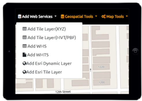
GeoData Explorer Add Web Services Data supports the following URL Types:
Raster Tiles XYZ/TMS and OGC WMTS – Web Map Tile Services
Vector Tiles XYZ (PBF and MVT)
ESRI ArcGIS Dynamic Layers (MapServer)
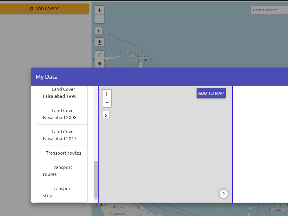
the app can also have data configured and saved in a JSON file. If it’s been configured the Add Layers button will show layers available to add to the map