- Map Features
- Adjust Opacity
- Attribute Table and Export
- Collect Feature Data
- Coordinates
- Display Grids
- Geolocation and GNSS Settings
- Geospatial Analysis
- GeoTag Photos
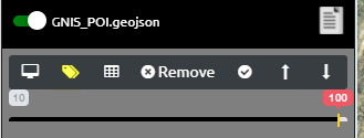
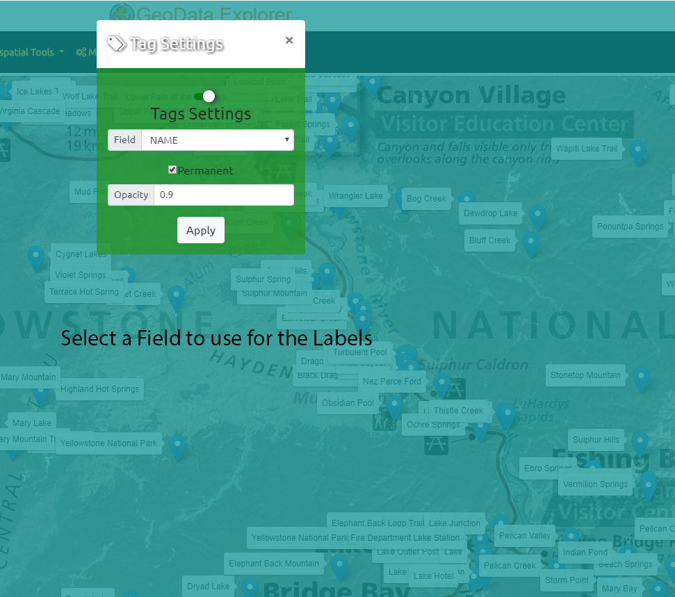
- Label Features
- Map Annotation
- Overview MiniMap
- Place Search and Geocoding and Directions
- Screen Size and Orientation
- Search Loaded Data
- Spatial Bookmarks
- Style Data and Mouse Over info
- Swipe Compare
- Tiling of vector data
- View Spot Elevation and Terrain Profile View
- Tools
- Local Offline Data
- Internet Connected Data
- GeoDataExplorer
- GEOINT Data Explorer
Pages
- Agriculture
- Architecture, Engineering, Construction and Planning
- Asset Management
- Asset Management
- Custom solutions and data for GeoData Explorer
- Data-Attribution
- Defense and Intelligence
- Demo Geo Data Explorer
- Emergency Management
- Feedback and Suggest Features
- GEOINT_DATA_EXPLORER
- Home
- Hometest
- IGAPP GEOINT DATA EXPLORER Feedback and Suggest Features
- Industries
- Insurance and Damage Assessment
- Land Survey and Mapping
- Law Enforcement
- Manual
- Natural Resources Conservation and Environment
- NGO and Humanitarian
- Notes about Map Data
- Pricing
- privacy policies
- RealEstate and Property Management
- Release-Notes
- test
- Utilities


