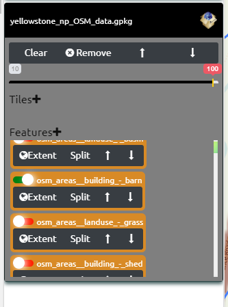
OGC GeoPackage is a SQLite Database that can store Vector Features, Raster Tiles (PNG, JPG, WebP) and Terrain/Elevation Tiles
Vector Features have a Geom Column that’s a BLOB with the Point, Line or Polygon and other geometry types information stored in something similar to WKB – Well Known Binary format.
QGIS and GDAL Ogr2Ogr make it easy to convert other spatial data into GeoPackage format. ESRI ArcGIS and ArcGIS Pro also have geoprocessing tools to convert data to GeoPackage.


If you’ve got many Shapefiles or other formats in a folder you can easily convert them to GeoPackage with GDAL’s OGR2OGR.
GeoData Explorer works best with Vector data (other than vector tiles) in Geographic WGS84.
Reproject and Convert to GPKG all SHP in a folder
Recurisively Folders Convert to GPKG
Note: Dynamic rendering as raster tiles if click image icon
